We deliver comprehensive marine geophysical surveys and advanced subsea solutions to support informed decision-making across offshore projects.
Each service below is something we run with our own team — from acquisition through to clean, usable deliverables.
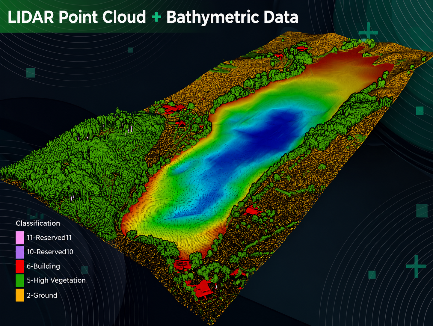
Detailed underwater mapping that shows ports, pipelines, cable routes and coastal projects exactly what's on the seabed — so engineers can plan with confidence before any work begins.


Sound-based imaging that reveals what the seabed is made of — essential before drilling, foundation work or major construction. Knowing the layers below saves time and risk above.
Soil and seabed sampling that tells you whether the ground can hold what you plan to put on it — for foundations, anchors, cables and pipelines.


We acquire, analyse and process hydrographic and geospatial data — turning what we collect into the highest-accuracy seabed maps, pipeline monitoring and environmental assessments.
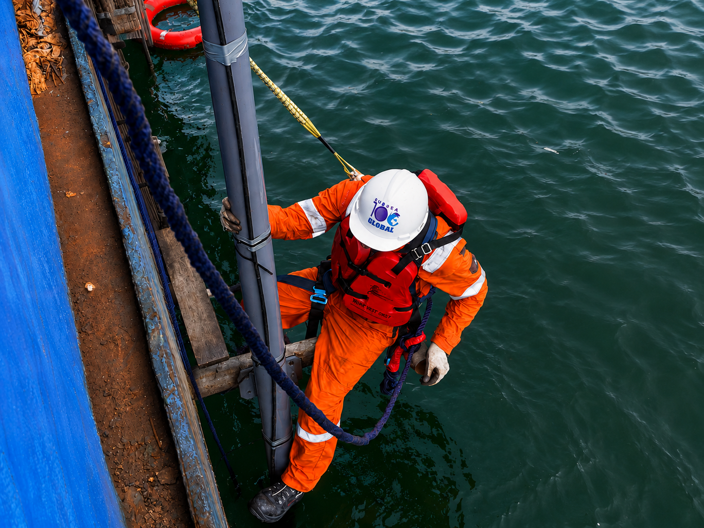
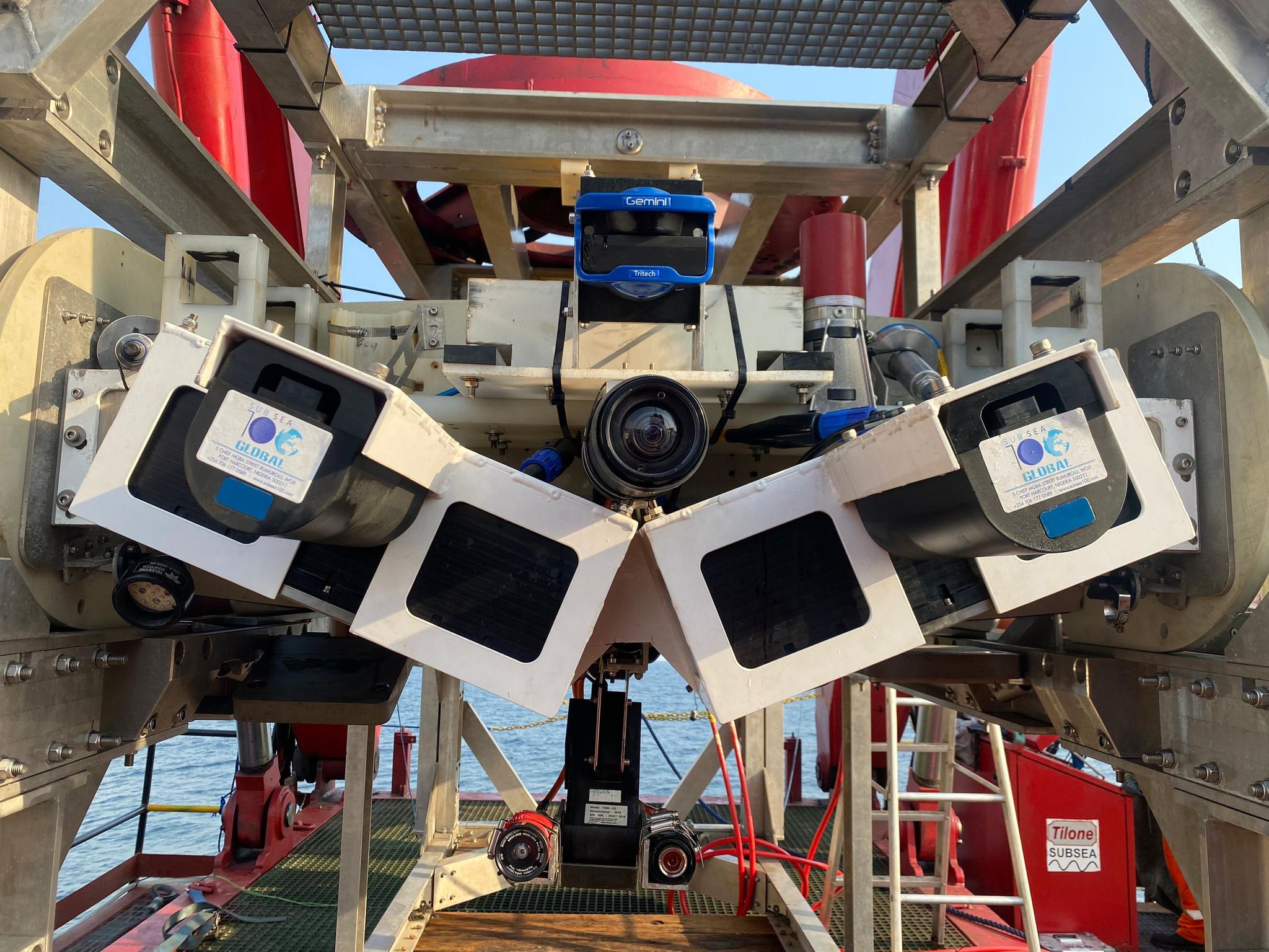
Our qualified team designs, installs and maintains underwater structures, pipelines and inspection systems — using ROVs, AUVs and sonar to deliver safe, efficient and innovative subsea solutions tailored to deep-sea conditions.

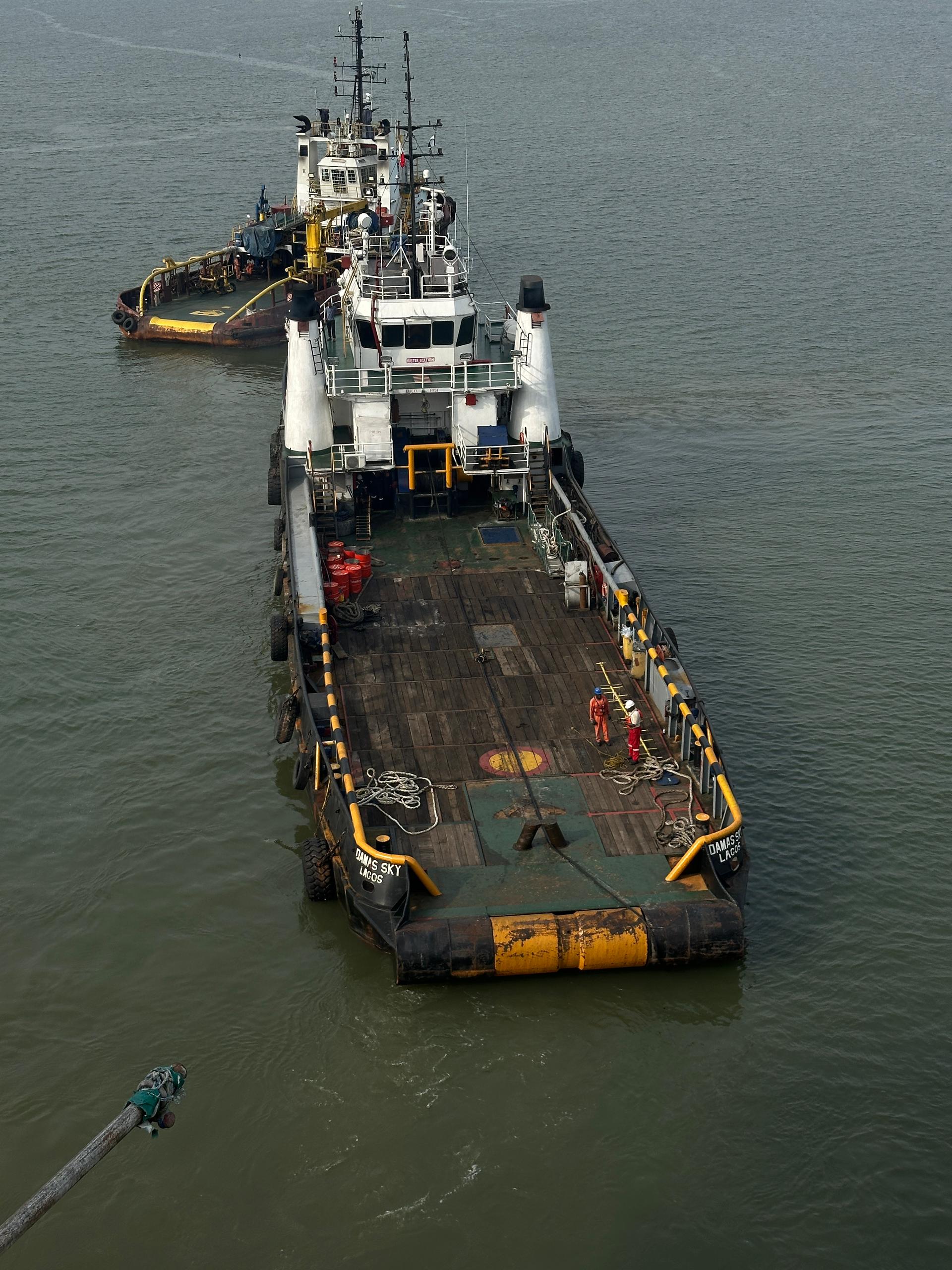
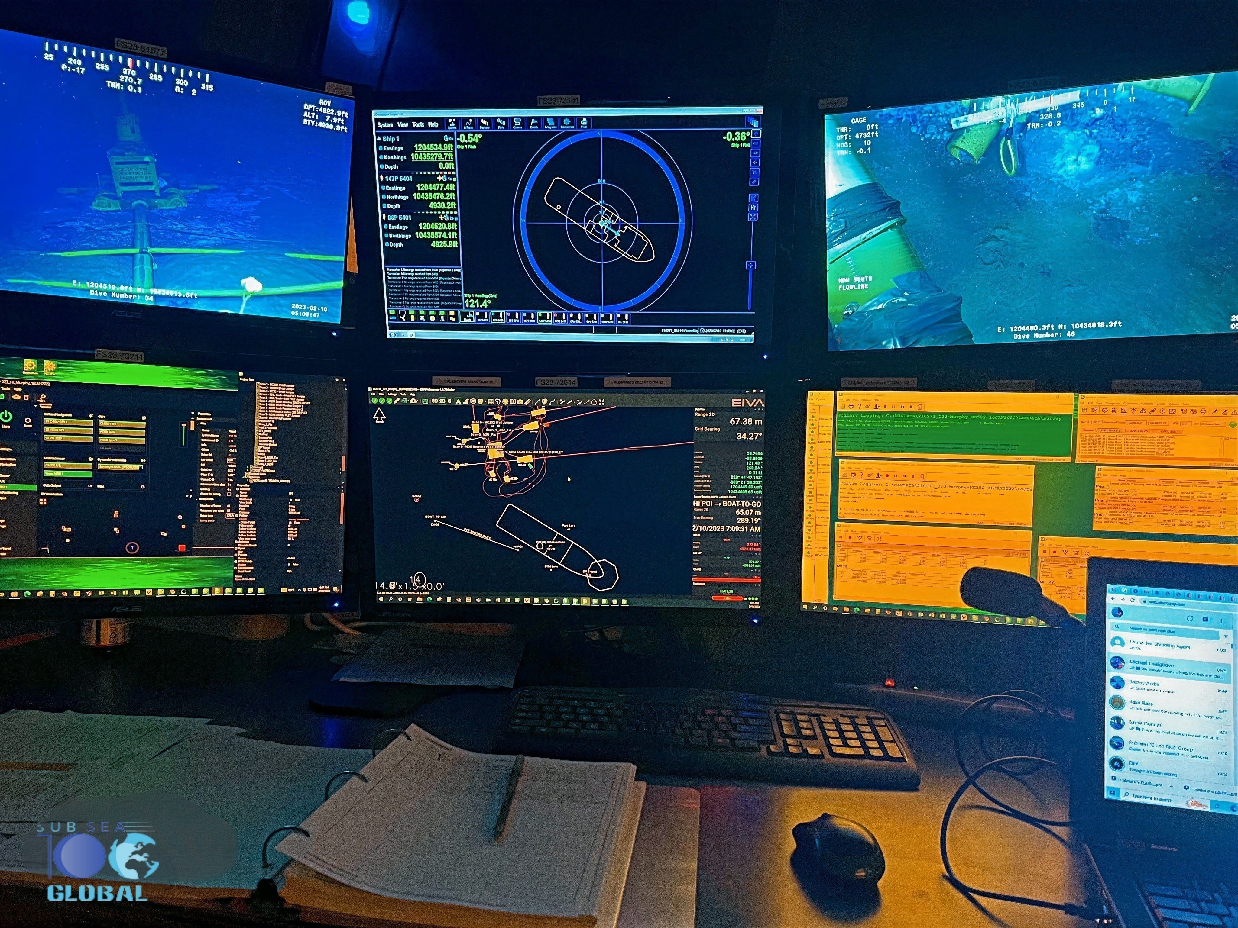
High-precision positioning for offshore drilling support, rig moves, anchor handling and marine construction — so every measurement and every operation is anchored to the right place.
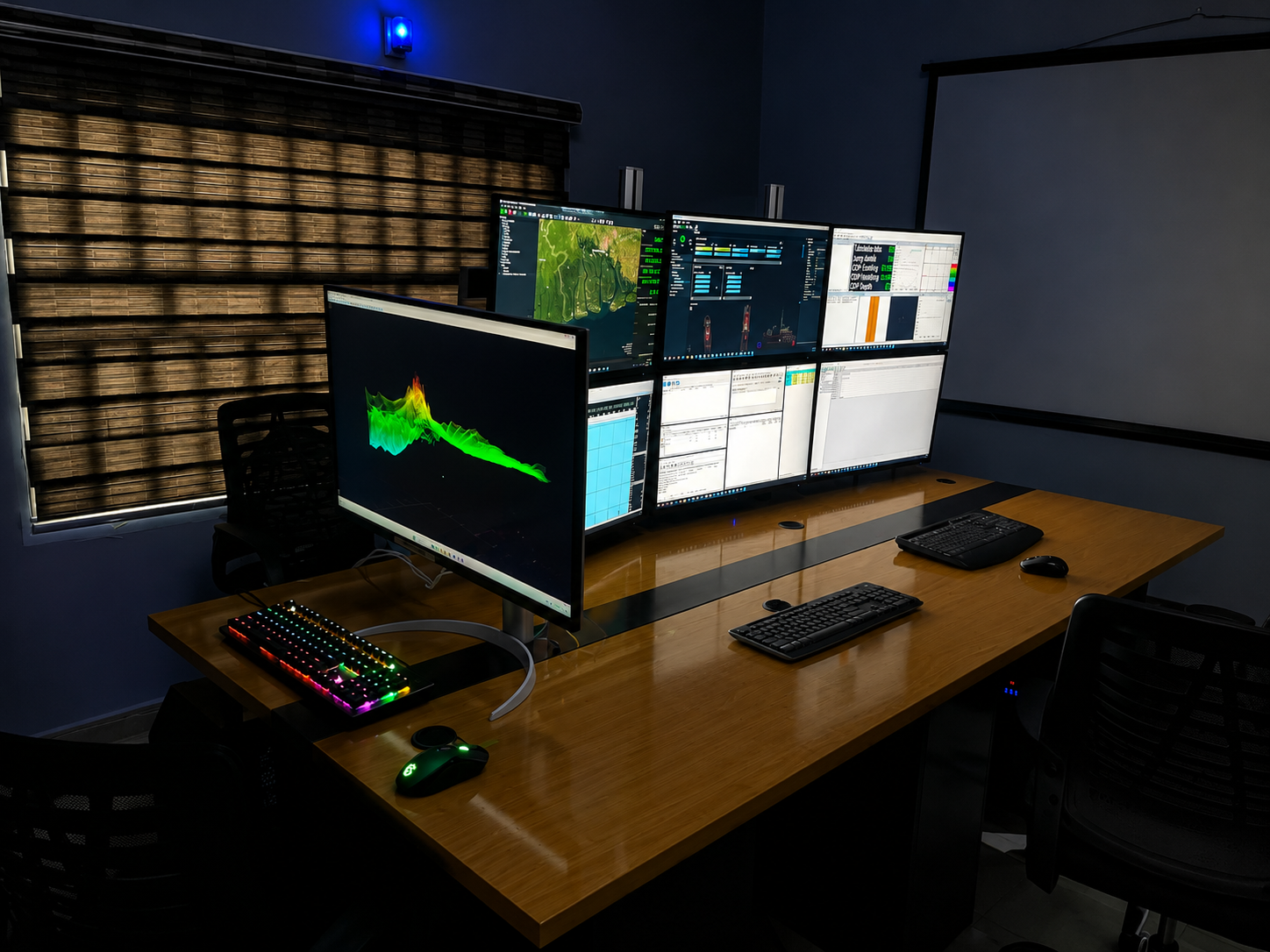
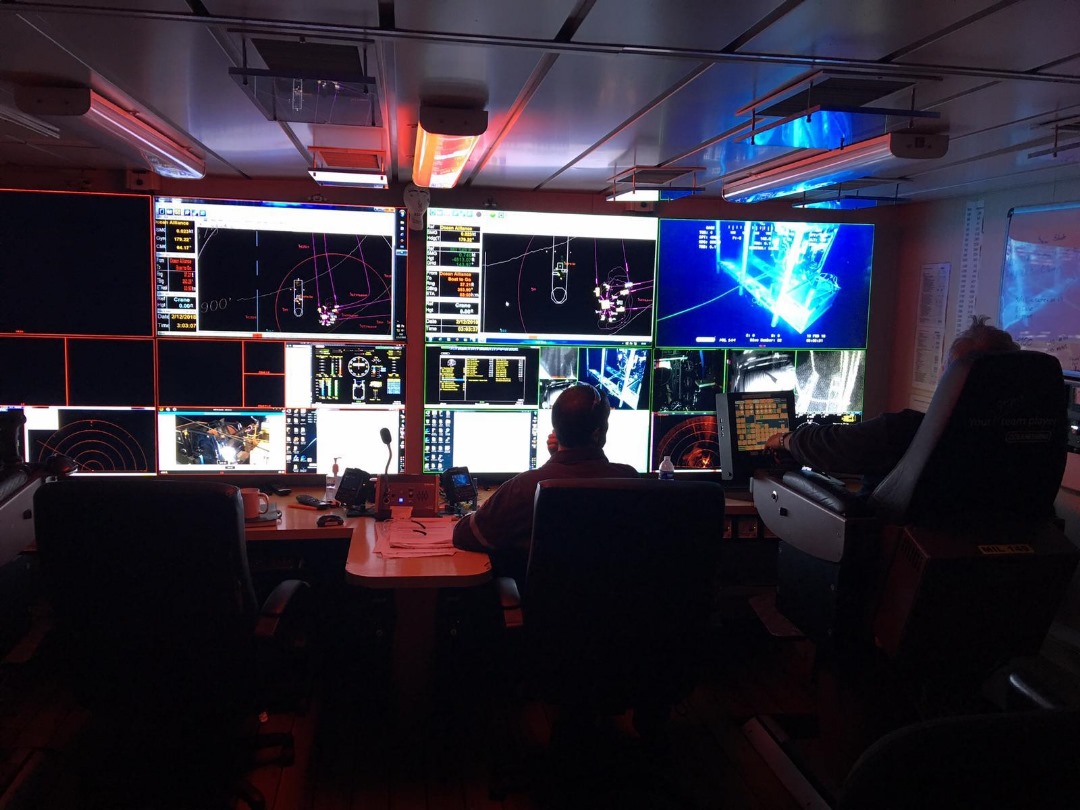
Our remote operations team is dedicated to revolutionising subsea management with innovative technology and expertise. By advancing our skills and knowledge in remote operations, we set new standards in supporting marine projects.

Beyond our core offerings, we provide specialized services to support comprehensive offshore and marine operations.
Industry-leading software platforms we use to process, analyze and deliver high-precision survey data.
Whether you're scoping a survey, planning an inspection or thinking ahead to construction — talk to our team and we'll help you figure out what you actually need.