We map what's underwater so the people building above it can plan, build and maintain with confidence. Hydrographic surveys, underwater inspection and subsea engineering — delivered by experienced hydrographers, geologists, geophysicists and engineers.
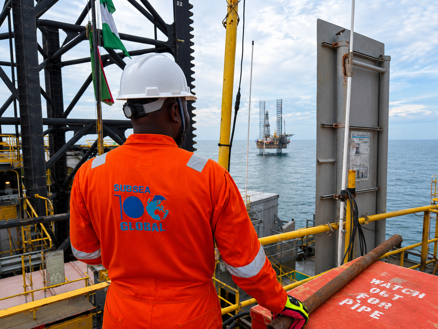
We provide marine geophysical surveys and subsea solutions — the data and systems offshore energy, renewables and infrastructure projects rely on to make confident decisions.
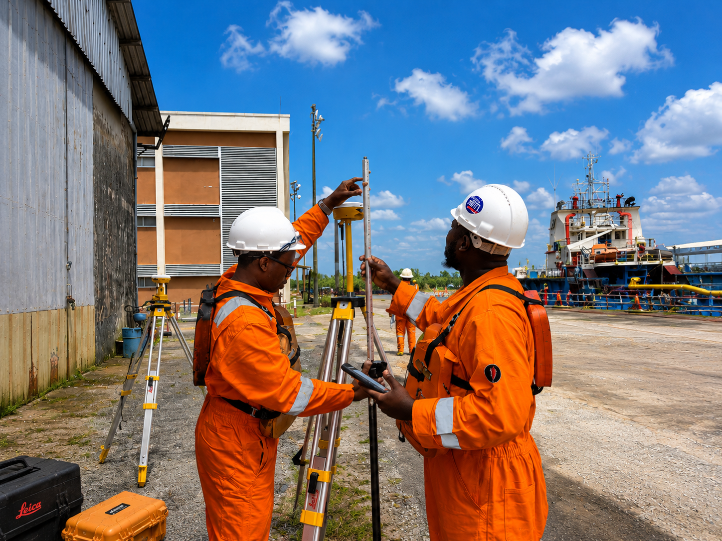
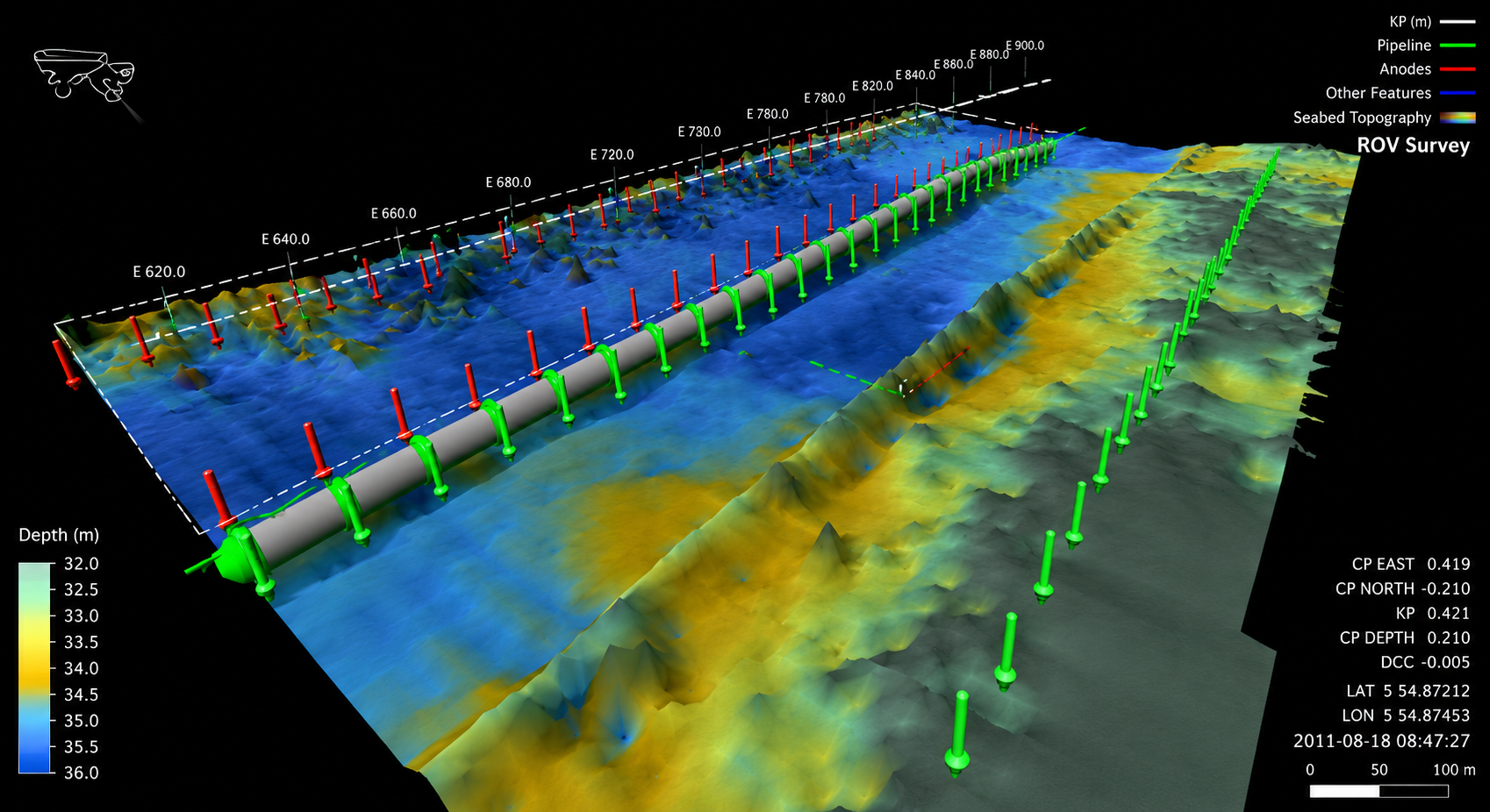
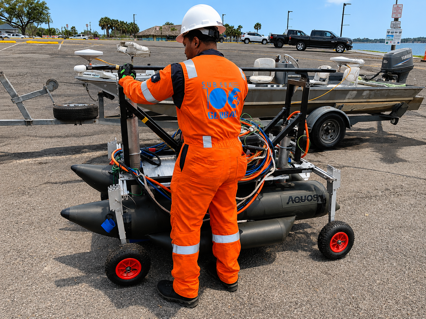
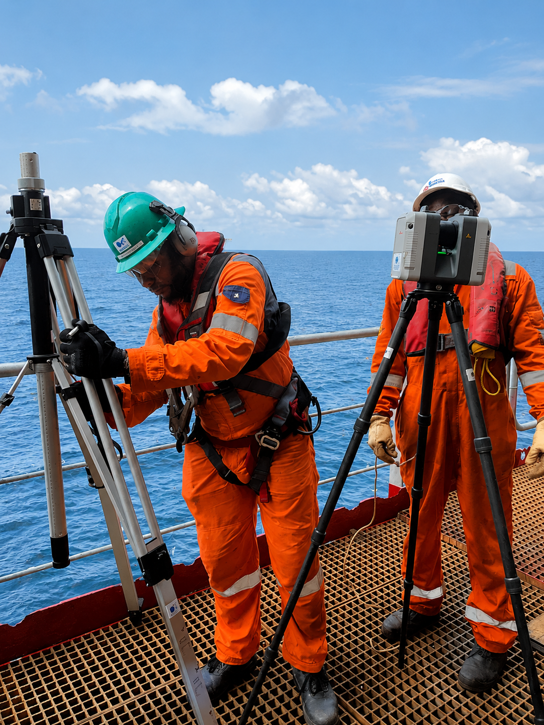
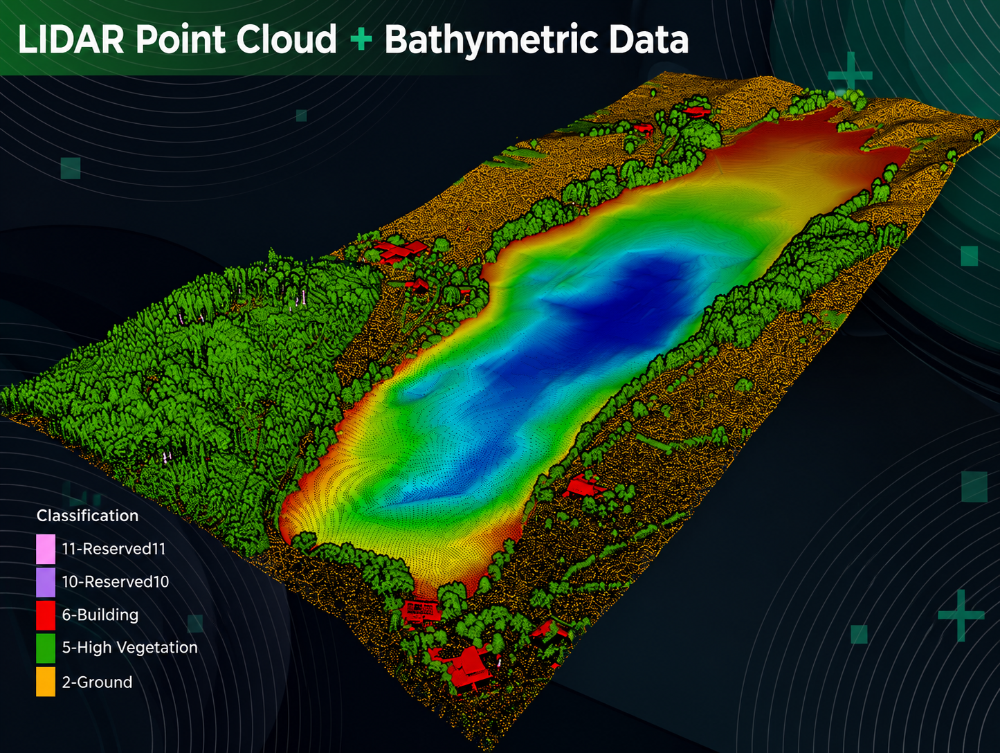
Accurate underwater maps for ports, pipelines, cable routes and coastal projects — so engineers know exactly what's down there before work begins.
Sound-based imaging that shows what the seabed is made of — essential before drilling, foundation work or major construction.
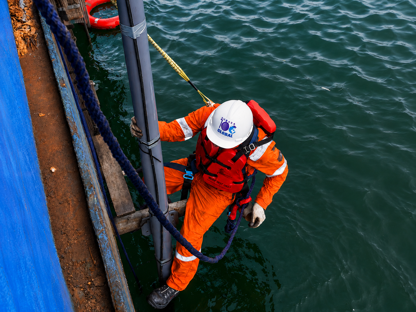
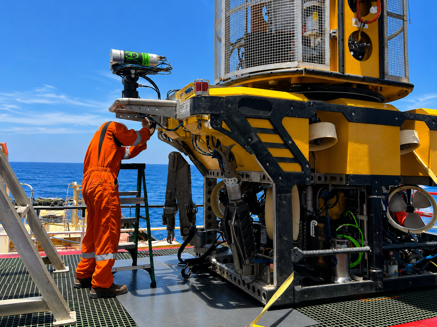
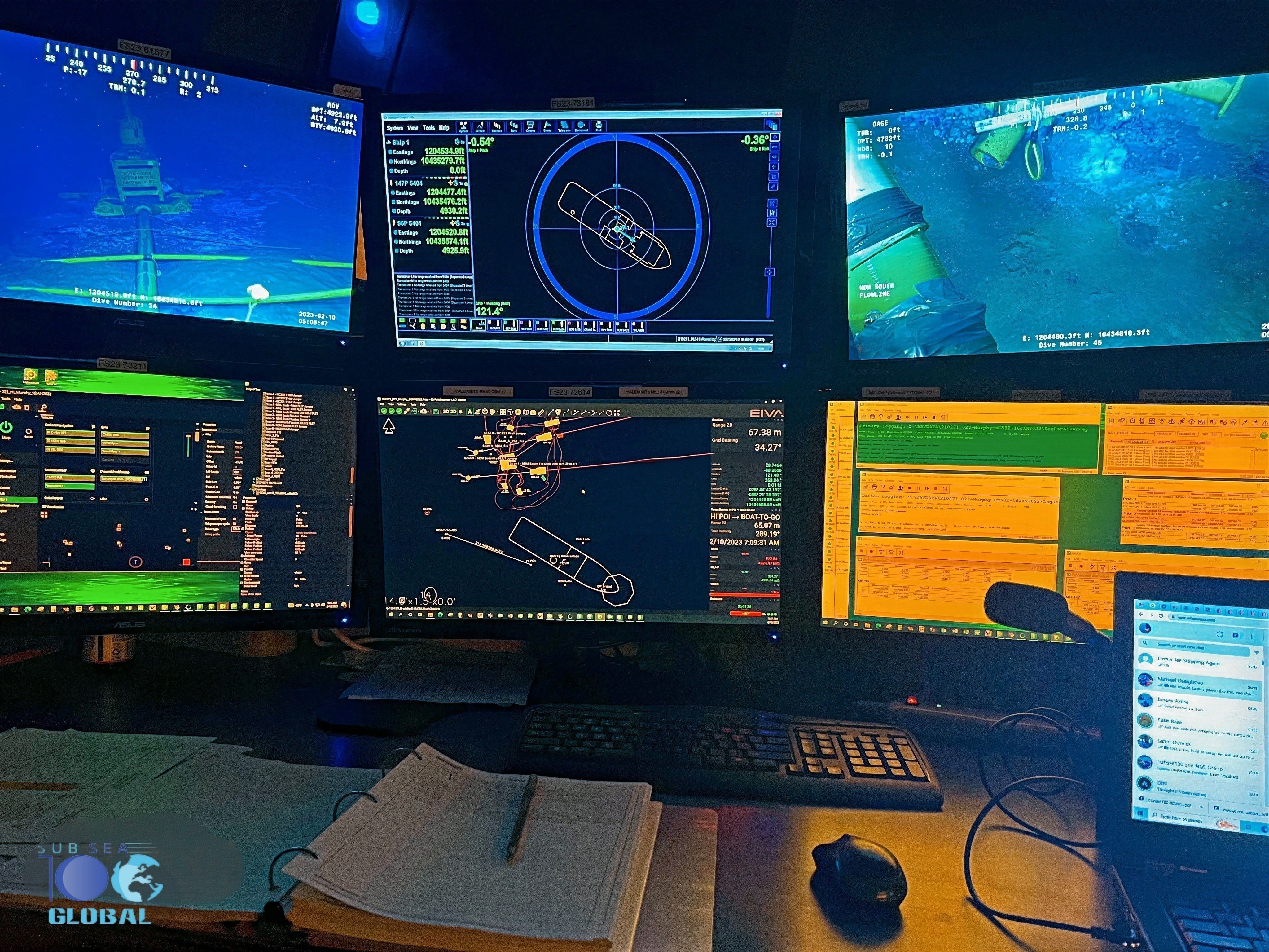
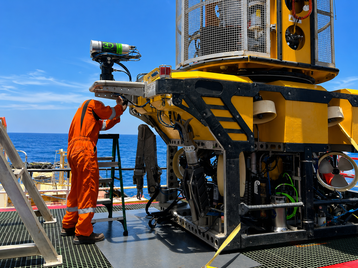
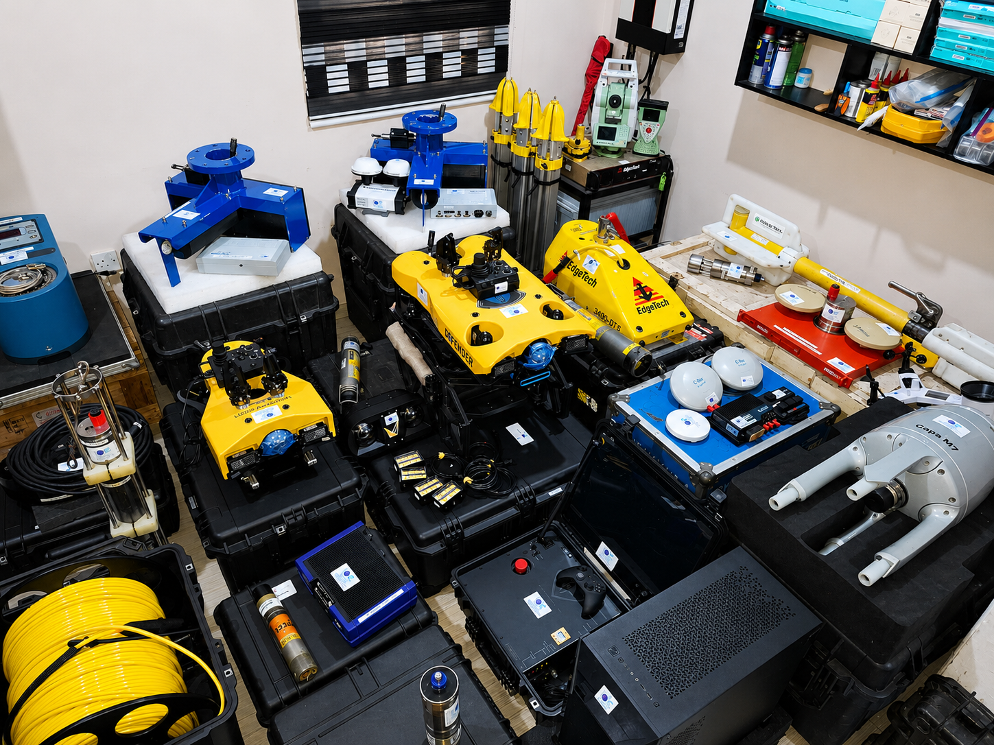
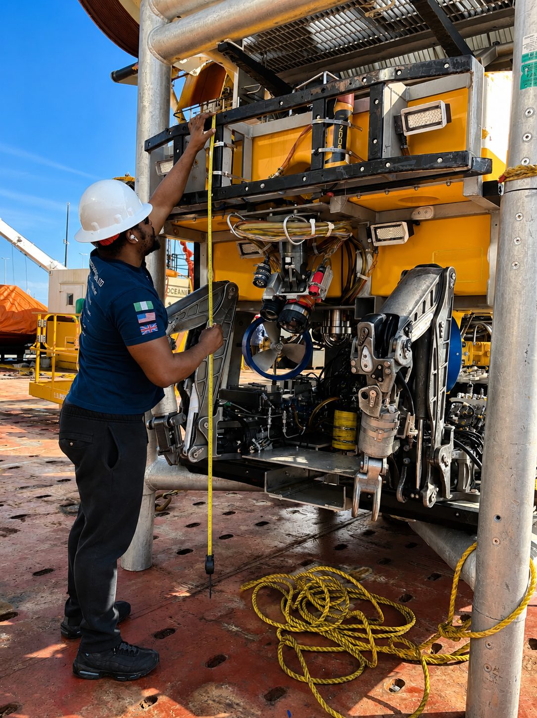
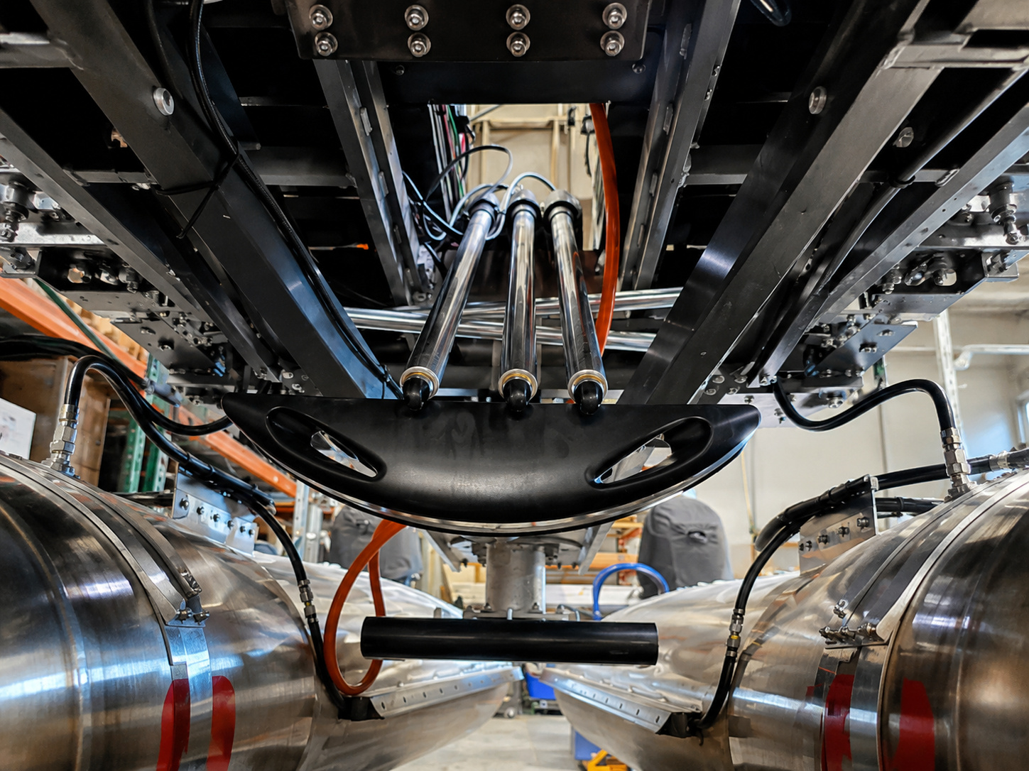
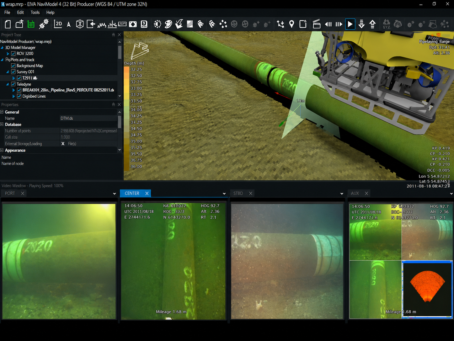
Our inspection-class ROVs go up to 4,000 m deep, capturing HD/4K video and millimetre-accurate 3D models of pipelines, platforms and infrastructure.
Soil and seabed sampling that tells you whether the ground can hold what you plan to put on it — for foundations, anchors and cables.
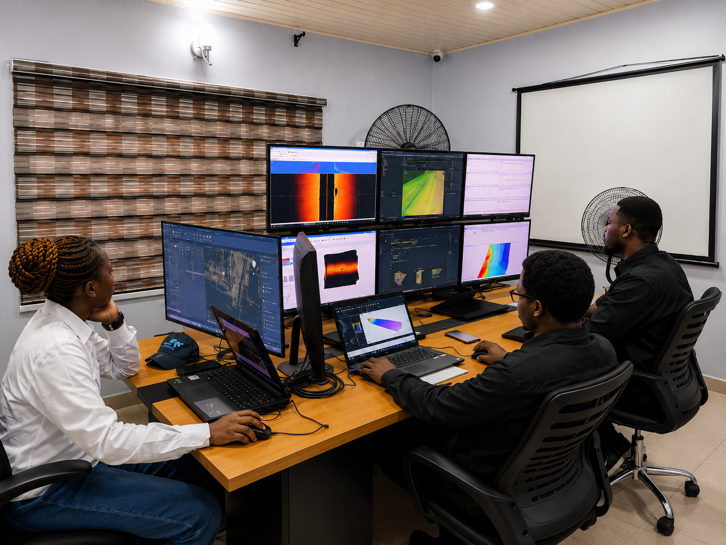
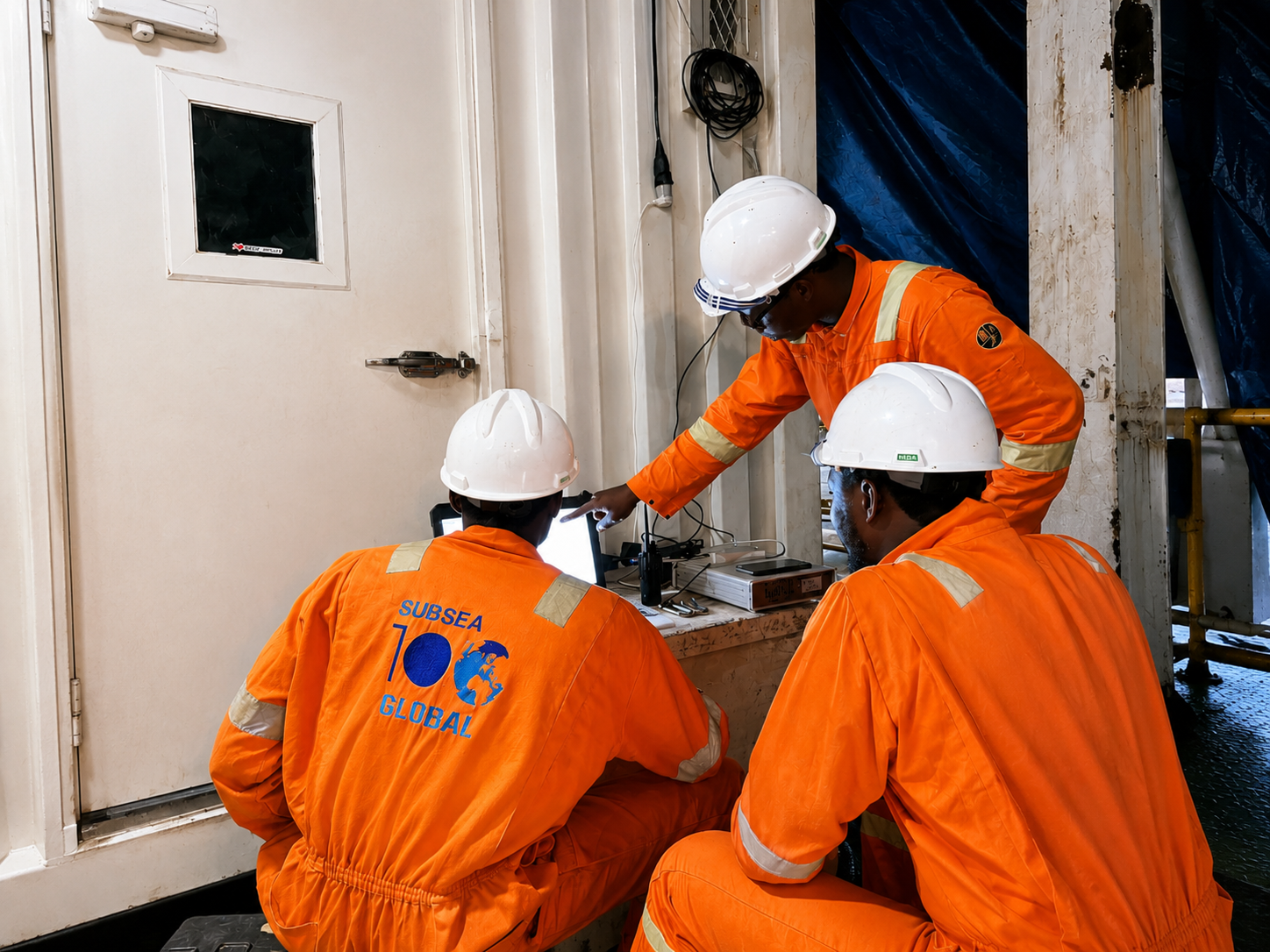
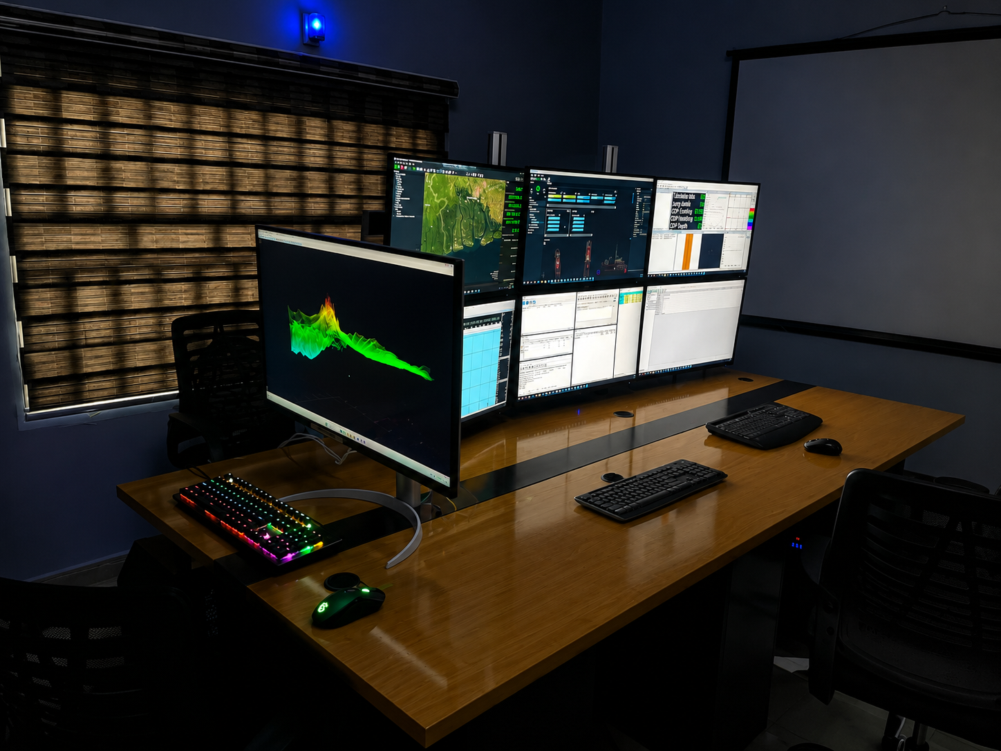
We process and analyse survey data, then deliver clean reports, 3D models and recommendations your team can act on — not raw files you still have to interpret.
Subsea100 Global Limited is a Survey and Construction Support Company incorporated in January 2012, registered as an indigenous company in Nigeria with a global presence in Houston, Texas, USA. We are at the forefront of hydrographic survey, underwater mapping and subsea engineering, delivering high-precision data and innovative solutions for offshore industries and coastal infrastructure projects.
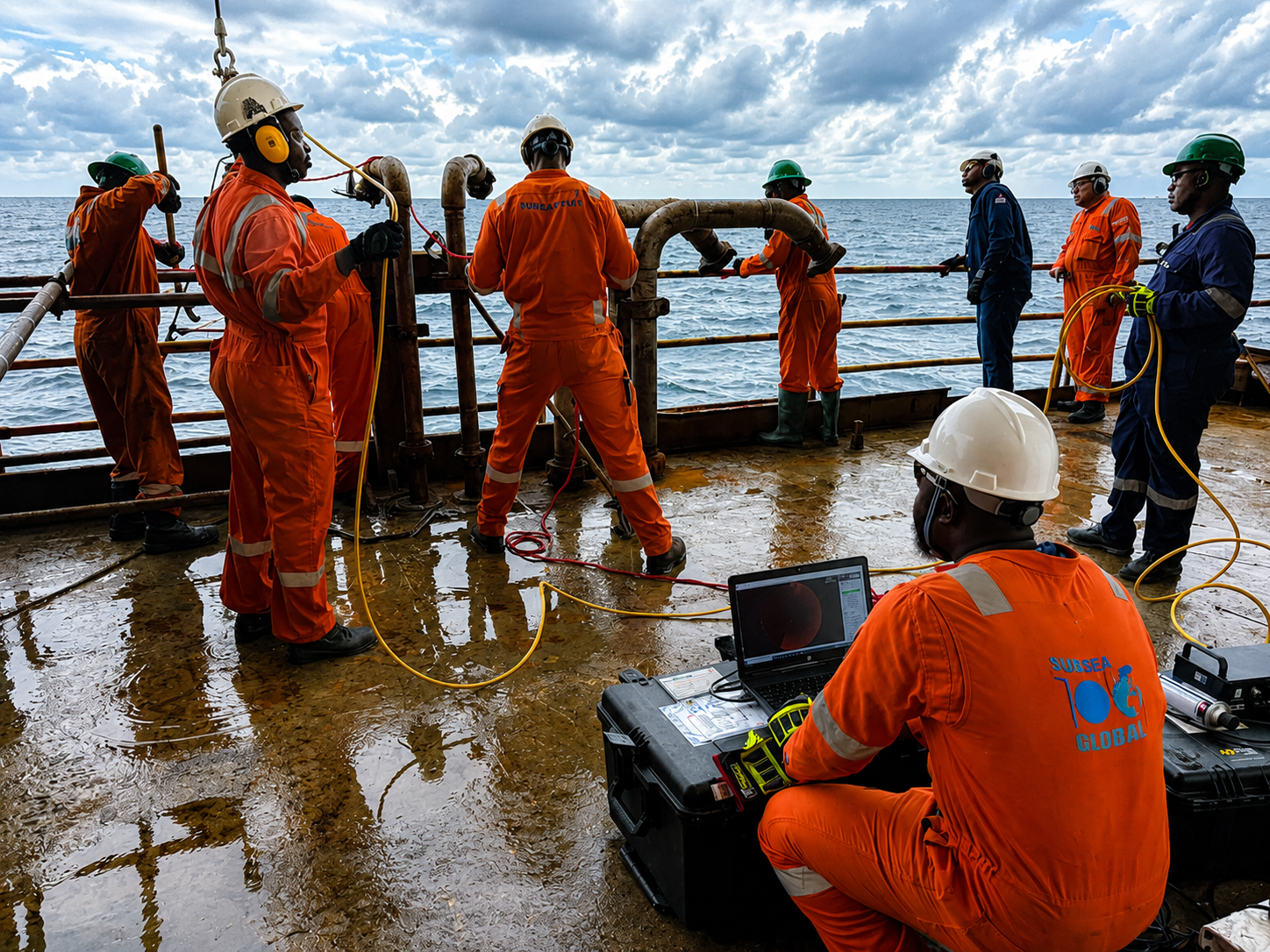
Our team of experienced hydrographers, geologists, geophysicists and engineers commits to high standards in quality, health, safety and the environment — working closely with clients to understand the parameters and objectives of each project, while bringing international experience in inspection, repair, maintenance and decommissioning.
Subsea100 — Navigating the seas.
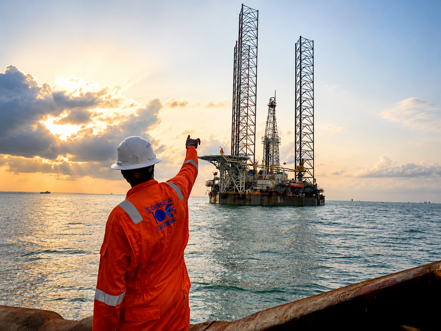
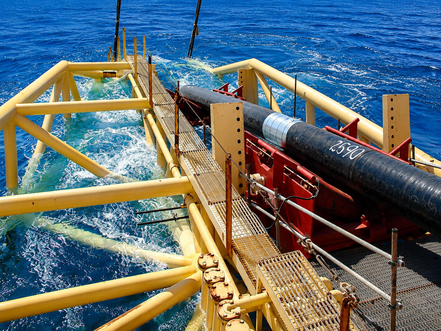
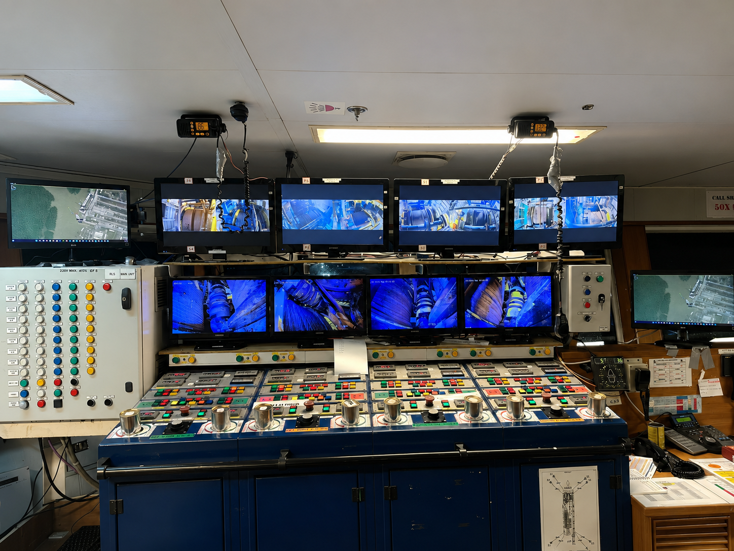
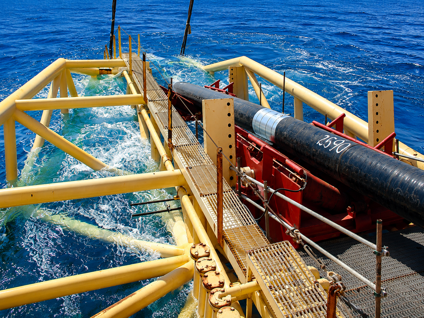
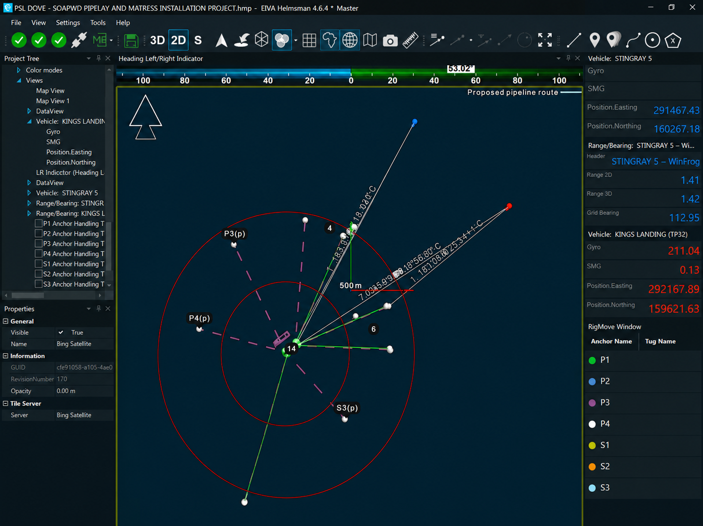
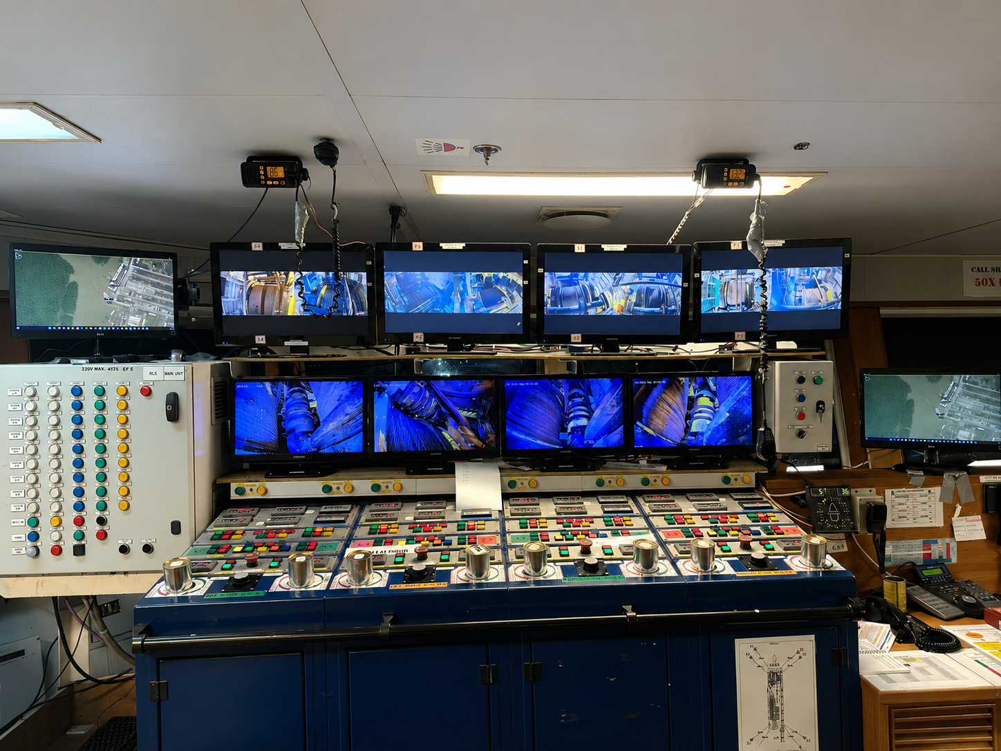
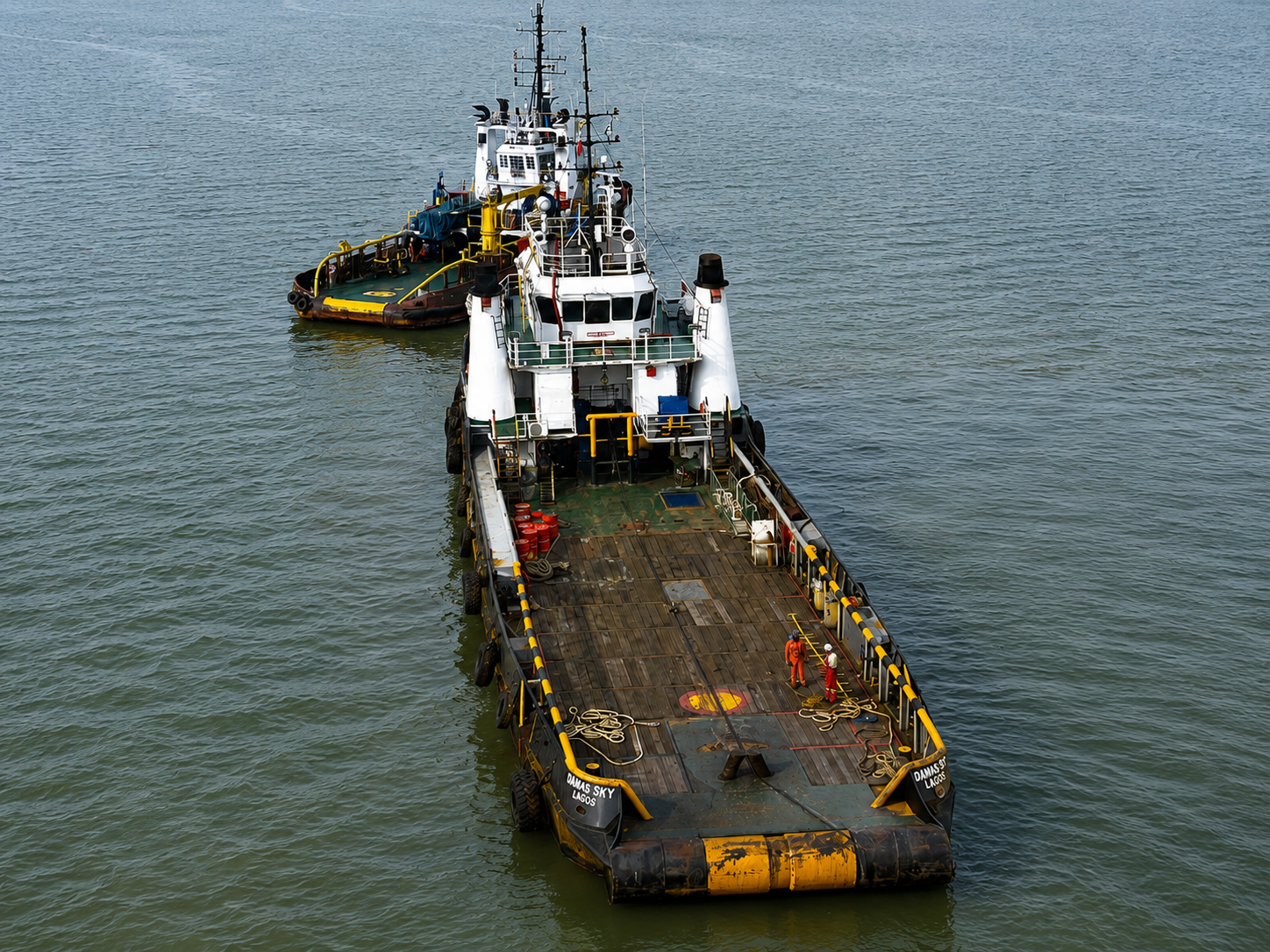
Positioning services to the barge "PSL DOVE" and its associated Anchor Handling Vessels for Chevron Nigeria Limited (CNL), providing DGPS positioning and navigation coverage of the lay barge's anchor pattern and accurate positioning during pipeline, spool and mattress installation.
All working drawings and coordinates were provided by CNL, and the project was delivered in line with CNL's approved Health, Safety and Environment plan.
Every Subsea100 program follows the same four-phase rhythm — calibrated to the asset, the season and the dataset that has to leave the field.
We deliver superior results through advanced technology and methods — a commitment to precision, innovation and quality that exceeds expectations on every project.
Our success is built on our people. We invest in continuous training and a collaborative environment that attracts and keeps the industry's top talent.
Rigorous planning, risk management and quality control. We hold ourselves to the highest standards while completing projects on time.
You receive clean reports, 3D models and validated data — not raw files you still have to interpret. The information leaves us ready to act on.
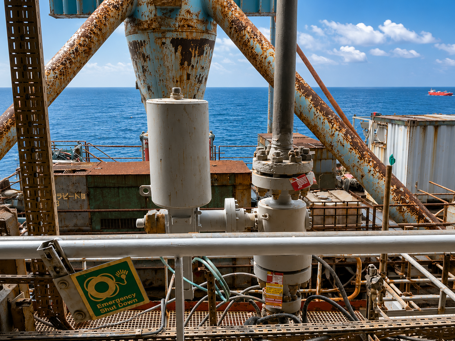
Oil & gas — pipeline inspections and offshore platform support. Renewable energy — offshore wind farm surveys and cable routing. Marine construction — seabed mapping and structural assessments. Environmental — habitat monitoring and impact assessments.
Industries served →Whether you're planning a subsea project, need expert advice or want to know how our ROV fleet can support your operations — reach out and you'll speak to someone who actually does the work.
Get in touch →Planning a subsea project, need expert consultation, or want to know how our ROV fleet can support your operations? Reach out — our team is here to help.