The kit we
put in the
water.

We use our own equipment — calibrated, maintained and operated by the same team you'll work with on a project.

A summary of what's available follows. Full equipment list on request.

01.   ROVs & AUVs

Inspection & survey platforms
Hovering AUV
Hovering AUV

Hovering AUV

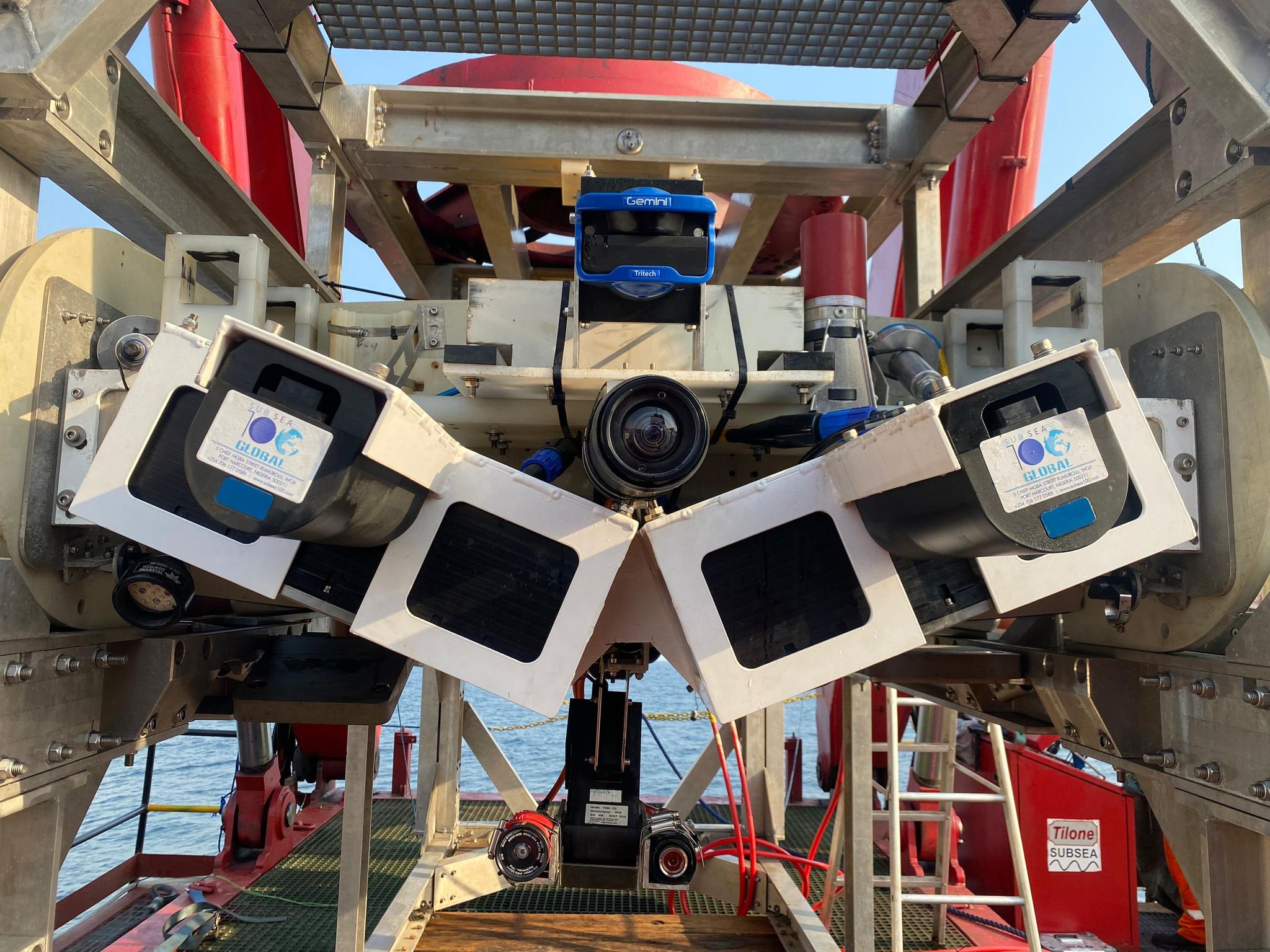
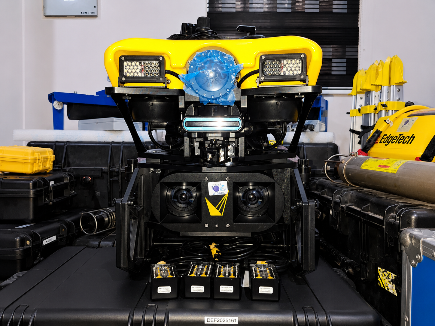
Autonomous platform for hull and structure inspection in confined or congested subsea environments — operates without a tether.

ModeAutonomous
UseHull · confined spaces
Light work-class ROV

Light work-class ROV

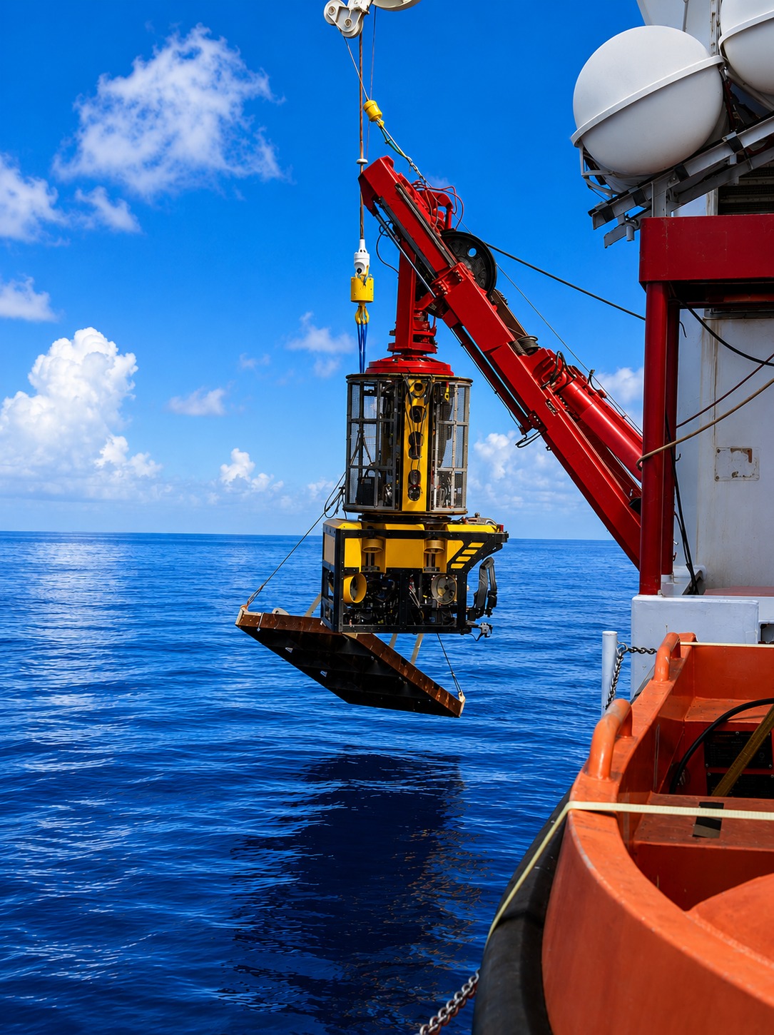
For shallower inspection work, jack-up support and pipeline checks — a smaller, more flexible platform.

Working depth1,500 m
UseIMR · pipelines
02.   Sonar & mapping

Bathymetry · imaging · sub-bottom
Multibeam echosounder
Multibeam

Multibeam echosounders

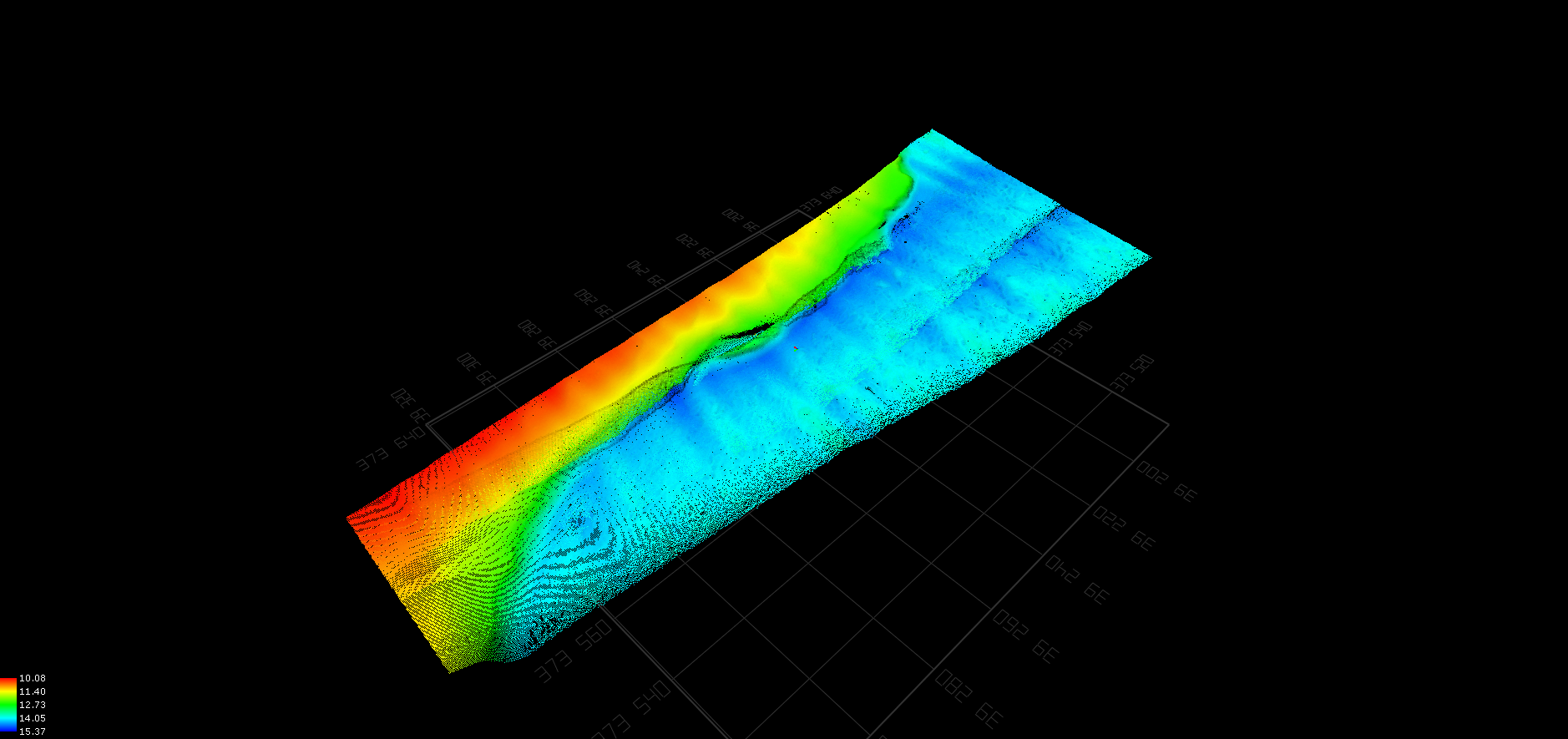
Hull-mounted and pole-mount multibeam systems for detailed seabed mapping.

Side-scan sonar
Side-scan

Side-scan sonar

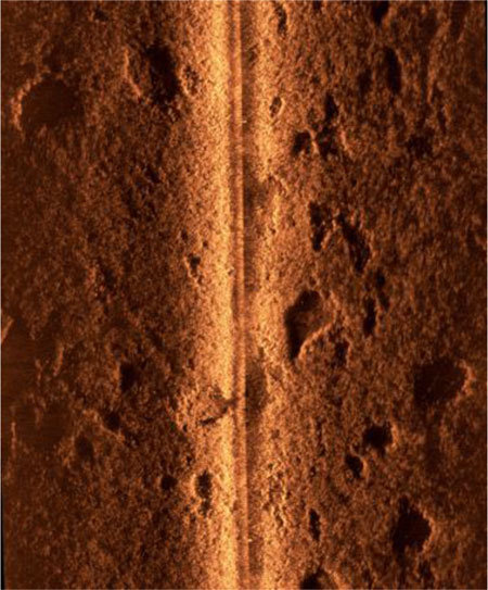
Towed and ROV-deployed side-scan systems for high-resolution seabed imaging.

Sub-bottom profiler
Sub-bottom

Sub-bottom profilers

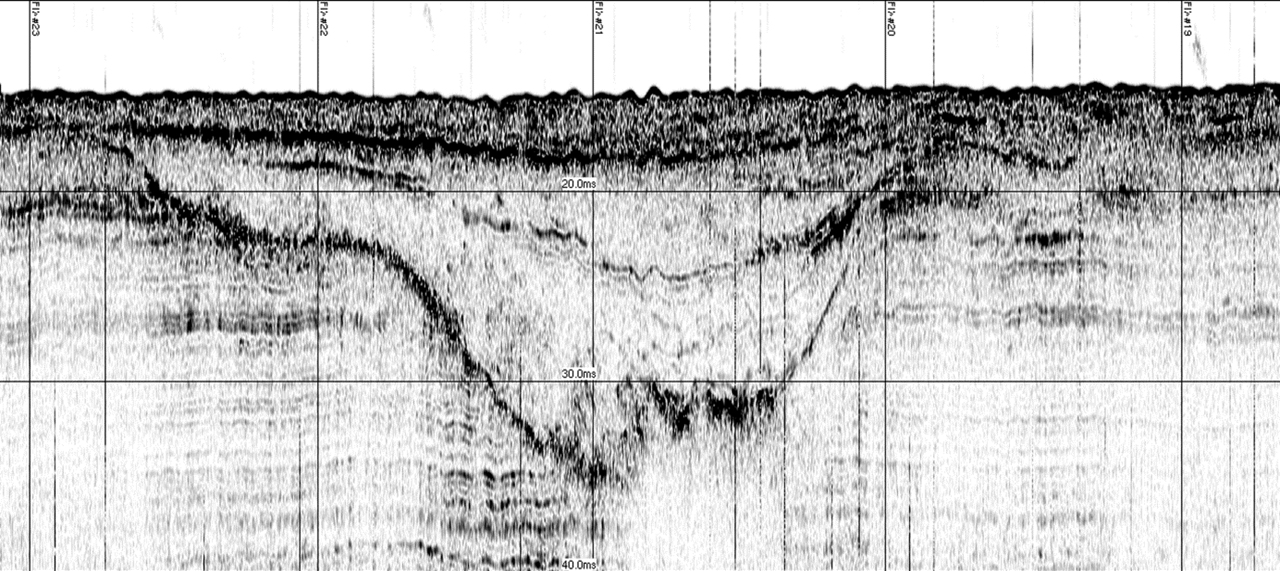
Profilers and 2D seismic sources for shallow geological investigation and hazard assessment.

03.   Positioning

USBL · DGNSS · INS
USBL transducer
Underwater positioning

USBL tracking systems

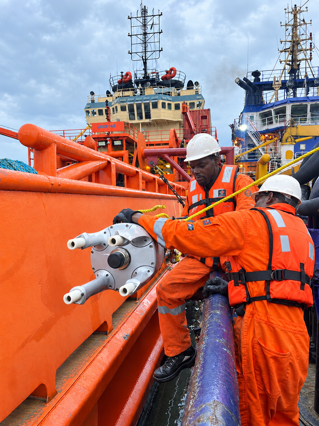
Vessel and rig-mounted USBL transducers for tracking ROVs and subsea targets in real time.

UseROV tracking
ModeReal-time
Surface positioning
Surface positioning

DGNSS & INS

Differential GNSS and inertial navigation for vessel and rig positioning during drilling, pipelay and construction support.

UseDrilling · pipelay
OutputReal-time positioning
§ 04 / Software

Acquisition &
processing
software.

Industry-standard packages our processors and surveyors are trained on — used end-to-end from acquisition to final deliverable.

Acquisition

QPS QINSy

Hydrographic survey acquisition, integrated navigation and real-time data logging.

Acquisition

EIVA NaviSuite

End-to-end acquisition and navigation for ROV and pipeline survey.

Processing

CARIS HIPS & SIPS

Bathymetric and side-scan processing, seabed classification and chart production.

Processing

Teledyne PDS

Multi-sensor processing for engineering survey and dredge monitoring.

3D modelling

Voyis Insight

Stereo photogrammetry mesh generation and 3D as-built modelling.

GIS

Esri ArcGIS Pro

Geo-referenced deliverables, route reports and integrity maps.

Geophysics

Seismic interpretation

UHR seismic interpretation, shallow-hazard mapping and fault identification.

Reporting

Reports database

Internal database keeping deliverables linked back to the original acquisition.

Need something specific?

Tell us what
the scope looks like.

This is a summary of what we run regularly — we mobilise additional spreads through partners for vessels, AUVs and specialist sensors. Send us the scope and we'll come back with a setup.